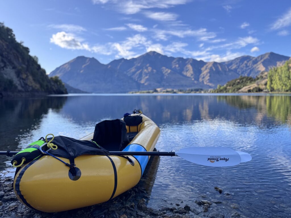
We left Lake Ohau and had a gorgeous drive over to Wanaka. Crossing the Clutha River really caught our eye, and we did a little research on how to best get a float in. We found a couple-mile stretch that we could float, pretty close to Lake Wanaka. Absolutely pristine, clear water that contrasted with the warm temperatures. Perfect little float with a lunch on a little river island. After the paddle, we were able to just walk back to get the van.
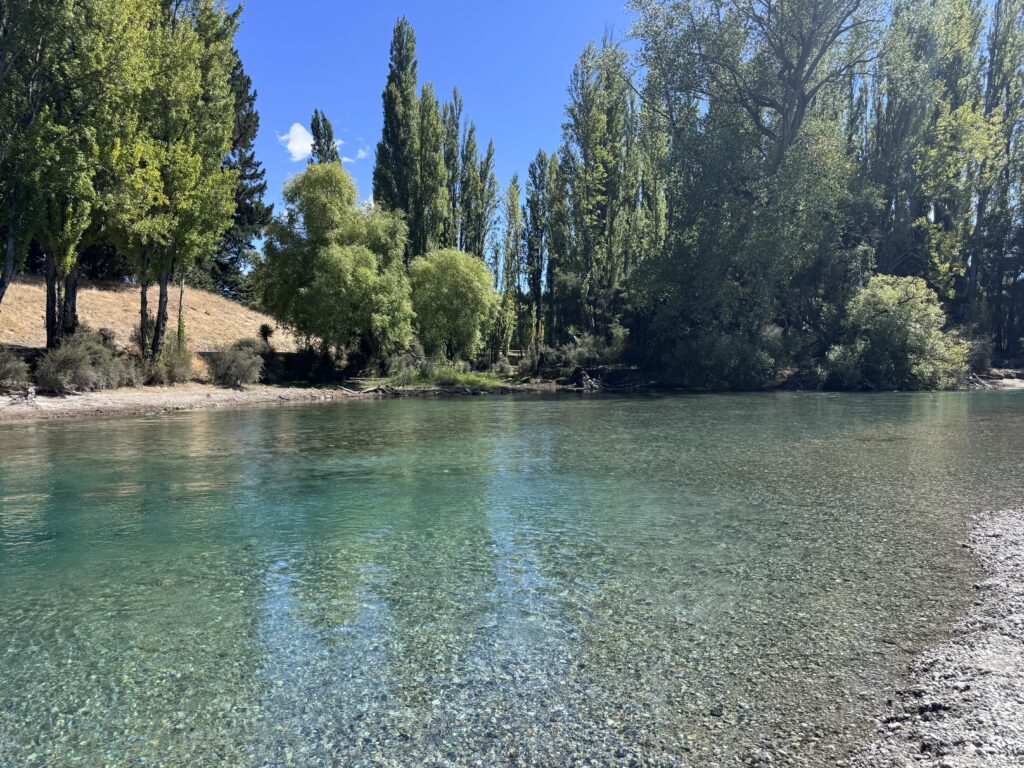
Perfect little swimming hole. Really warm outdoor temperature, but the water was snow not very long ago.
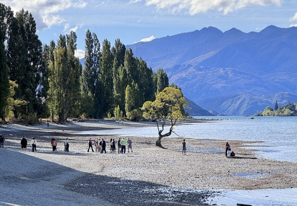
Wanaka is a very popular resort town, with lots and lots of restaurants, tour buses, crowds, and really great views. It seems like people will choose between Queenstown and Wanaka for short trips. They both have a lot to offer, but looking back on our trip, there was more I would have liked to do in Wanaka, and I couldn’t wait to get out of Queenstown fast enough.
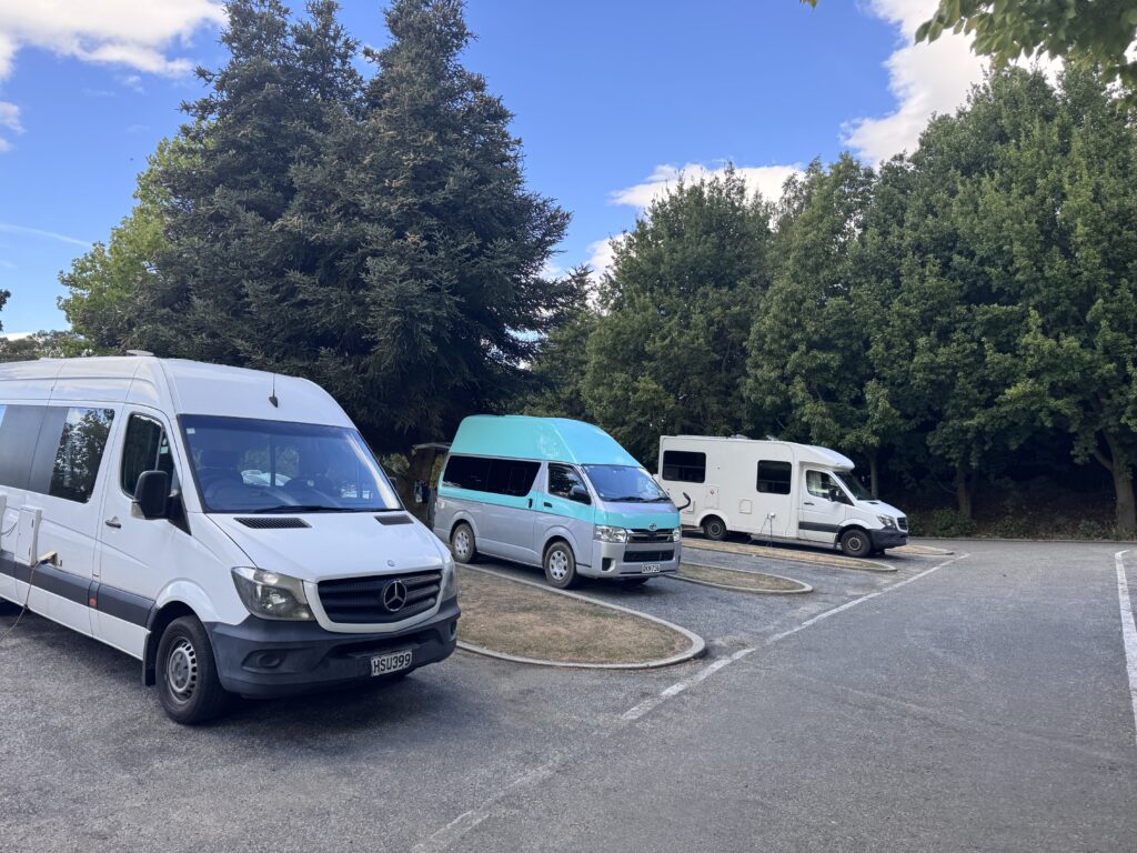
Wanaka was our first “Holiday Park,” and we chose the Big Ten franchise randomly. We ended up purchasing their discount card to use at all of their parks around New Zealand. The Wanaka Big Ten has a great kitchen, laundry facilities, showers, electricity, water hookups and wastewater dump. We were at day five without a shower, and day ten on laundry, so we were very ready for both. In our 30 years together, Barb and I travel A LOT with limited access to showers and laundry, so we are pretty skilled at keeping our level of grime to a certain level. Pretty sure other people we encounter are ok with it too.
We took our boat out right at Albert Park, which looked like a very nice place to camp, right on the river. It only had toilets though, and we needed a bit more than that.

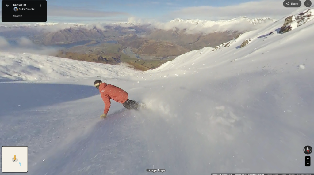
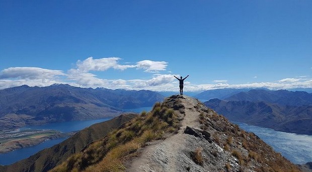
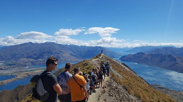
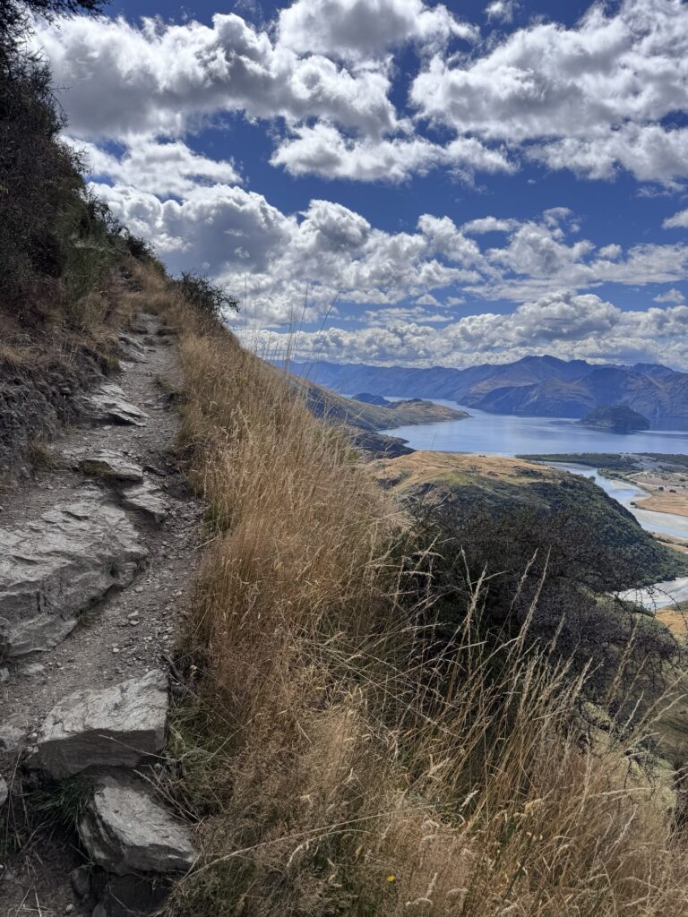
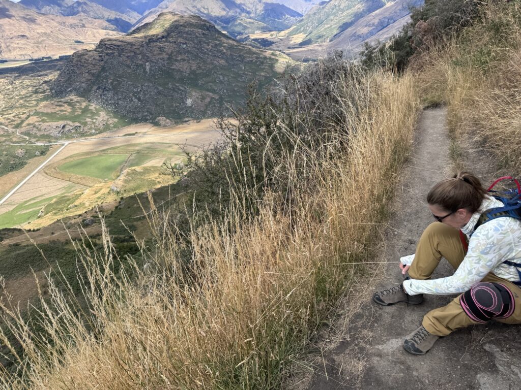
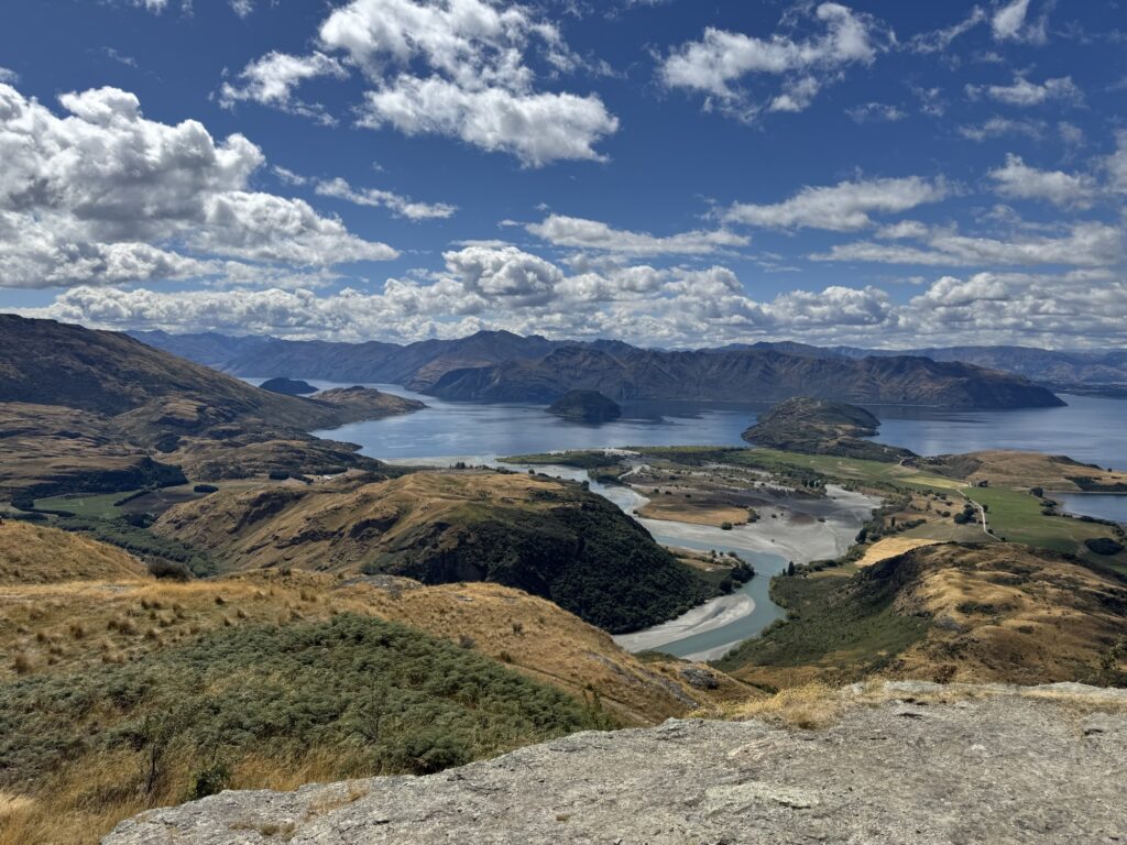
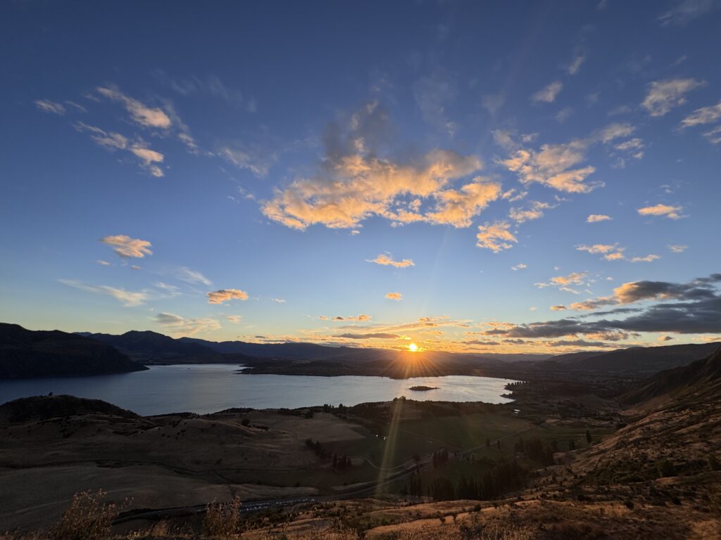
Everyone in the campground had either just come from doing Roy’s Peak, or were going to go do Roy’s Peak the next day. It is a very popular hike to do at sunrise. I think very few people can really picture what a “very popular hike” means in New Zealand. The parking area is a large, very large, parking area that fills up very early. Very, very, early. We thought we might check it out that first morning, got up a little bit earlier than normal, and moseyed over to find it completely full, way before first light. We came to learn, it fills up by 3 am in the summer. The hike itself is basically an unsealed road that is completely exposed to the sun all day. It’s about six feet wide, and maintains a 16% – 18% grade. It’s about 10 miles long, and climbs over 4,000 ft. Up is the easy part, especially if you have ever experienced even the mildest amount of knee pain. If you have travelled this far to check off feats of strength with a couple thousand like-**minded people, this hike is for you. Looking at the pictures, your reward for the grunt is absolutely stunning. The lighting and colors around Wanaka are simply out of this world. Immense glacial lake with Mount Aspiring in the distance. Even though the surrounding hills and mountains are covered with a brownish scrub, the blue skies and water give the light and shadows an amazing quality. I think I would really like to come back here to ski.
Met with full parking lot, we paddled.
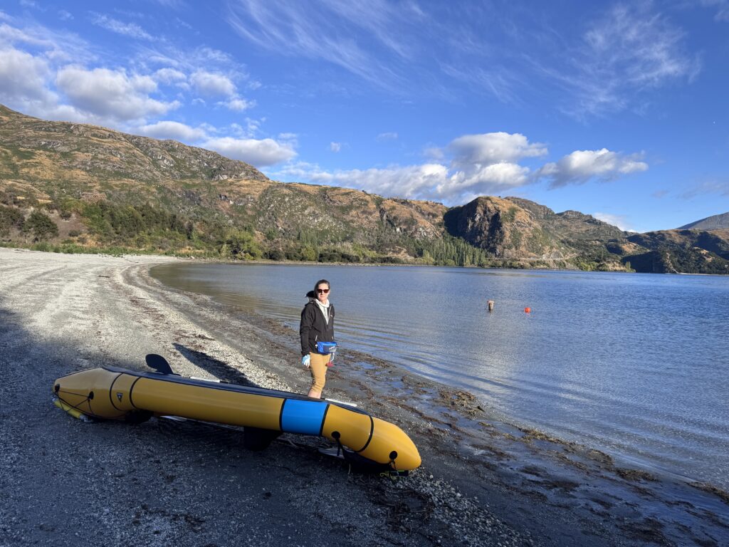
It was a little tricky finding how to get to the beach, but reading signs, and paying attention to how we parked rewarded us with a great place to paddle in solitude.
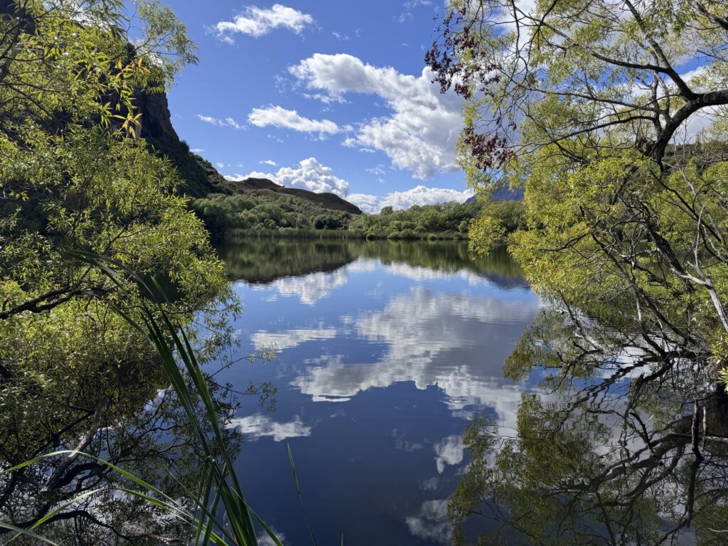
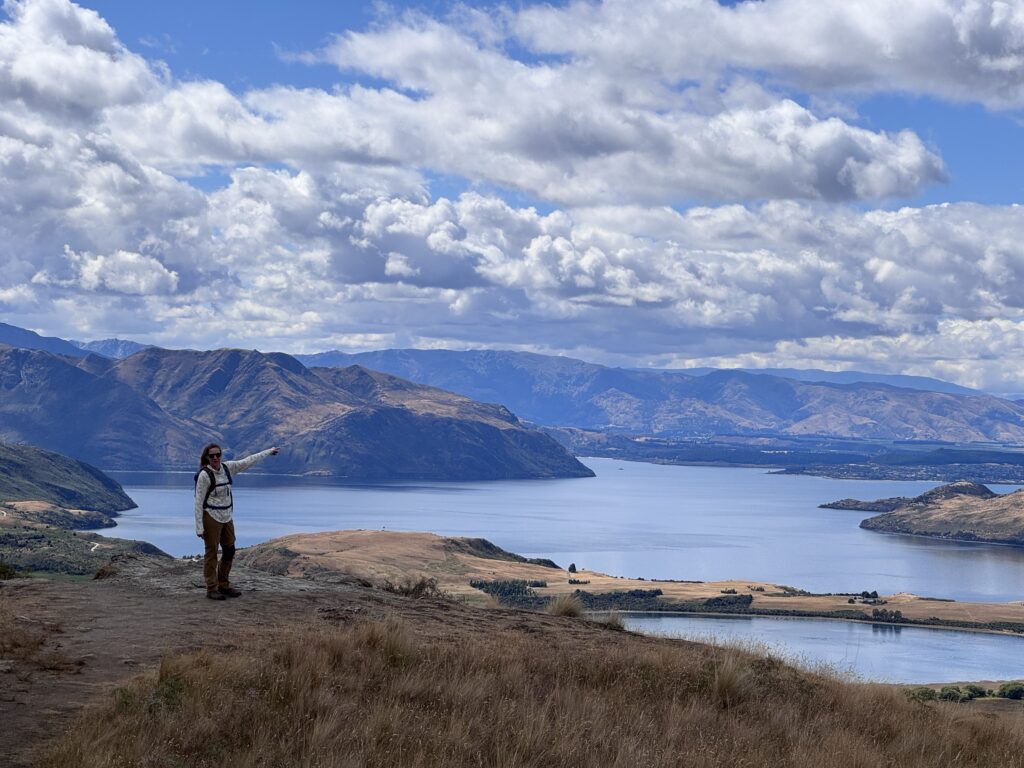
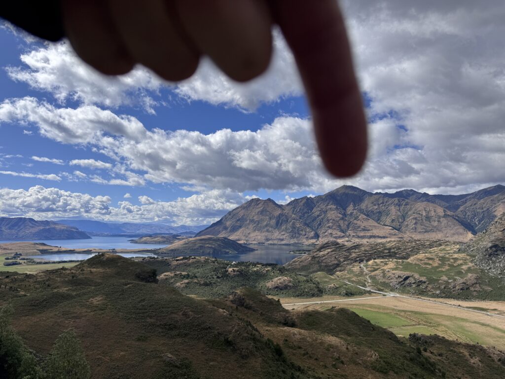
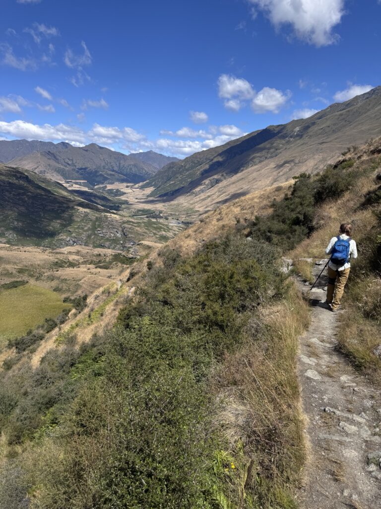
Since it was only 10 or 11, we set off looking for a hike after our paddle. Rocky Mountain trail that took us past Diamond Lake turned out to be one of the most scenic hikes of our trip.
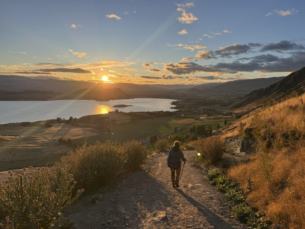
Absolutely phenomenal day, but even though we had many weeks ahead of us, we had to keep moving. We would leave the next day, but we just had to take a look at the Roy’s Peak Trail before we left the next morning. A few people said that since the view is basically unchanged, hiking up a ways just for the sunrise was worth it. Alarms were set, and we prepared ourselves to get up early so we could go get a parking spot.
Even though we were there in the off season, there were tons of people already on the trail. You could look up the mountain, and see the line of headlamps. It is a feat of strength that many, many people set off to accomplish. We had a long trip ahead of us, and I am so glad we chose our own path.
What we didn’t do – The road out to Rob Roy Glacier Track. Even though it looked like the freedom camping out there would be phenomenal, and the hiking and vistas seemed out of this world. The road had just enough warnings about low clearance vehicles, we didn’t want to risk it. Would I drive it today? Probably.